Across the United States, the year's first freeze has been arriving further and further into the calendar, according to more than a century of measurements from weather stations nationwide. Scientists say it is yet another sign of the changing climate, and that it has good and bad consequences for the nation. There could be more fruits and vegetables and also more allergies and pests. "I'm happy about it," said Karen Duncan of Streator, Illinois. Her flowers are in bloom because she's had no frost this year yet, just as she had none last year at this time, either. On the other hand, she said just last week it was too hot and buggy to go out in late October, near Chicago.
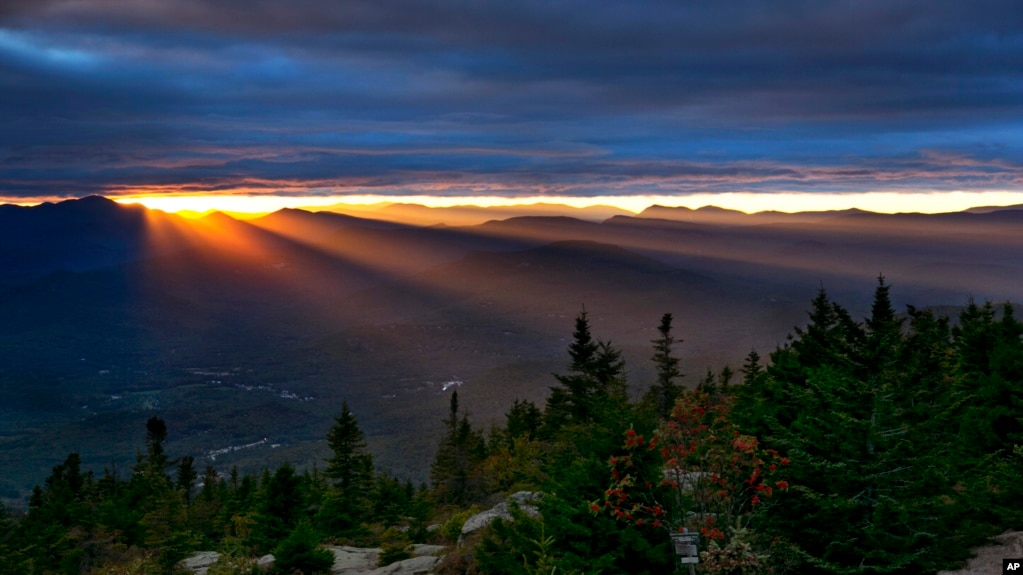
Sun rays spill through a gap between the clouds and the White Mountains as the skies begin to clear above Bartlett, N.H., Sept. 22, 2017. The first weekend of autumn in the area was unusually warm and across the nation, the year's first freeze has been arriving further and further into the calendar.
The trend of ever later first freezes appears to have started around 1980, according to an analysis by The Associated Press of data from 700 weather stations across the U.S. going back to 1895 compiled by Ken Kunkel, a meteorologist at the National Oceanic and Atmospheric Administration's National Centers for Environmental Information. To look for nationwide trends, Kunkel compared the first freeze from each of the 700 stations to the station's average for the 20th century. Some parts of the country experience earlier or later freezes every year, but on average freezes are coming later.
Average first freeze
The average first freeze over the last 10 years, from 2007 to 2016, is a week later than the average from 1971 to 1980, which is before Kunkel said the trend became noticeable. This year, about 40 percent of the Lower 48 states had a freeze as of October 23, compared with 65 percent in a normal year, according to Jeff Masters, meteorology director of the private service Weather Underground. Duncan's flowers should be dead by now. According to data from the weather station near her in Ottawa, Illinois, the average first freeze for the 20th century was October 15. The normal from 1981 to 2010 based on NOAA computer simulations was October 19. Since 2010, the average first freeze is on October 26. Last year, the first freeze in Ottawa came on Nov. 12.
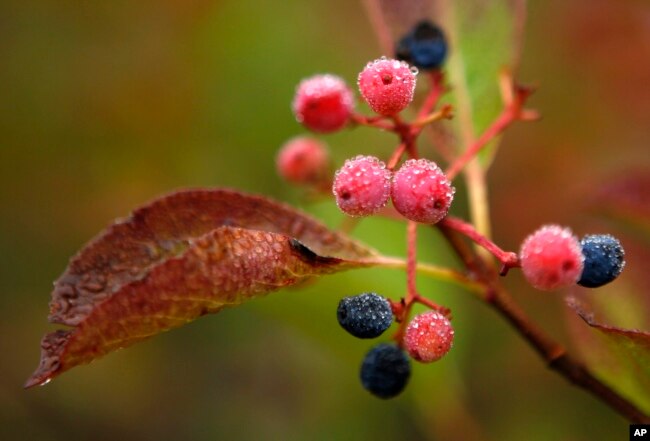
Morning dew covers berries in Bartlett, N.H., Sept. 18, 2017. Despite forecasts for brilliant foliage throughout the Northeast this year, longtime leaf watchers said the leaves this fall were dull and weeks behind schedule in their turn from green to the brilliant hues of autumn.
Last year was "way off the charts" nationwide, Kunkel said. The average first freeze was two weeks later than the 20th century average, and the last frost of spring was nine days earlier than normal. Overall the United States freeze season of 2016 was more than a month shorter than the freeze season of 1916. It was most extreme in the Pacific Northwest. Oregon's freeze season was 61 days shorter than normal. Global warming has helped push the first frosts later, Kunkel and other scientists said. Also at play, though, are natural short-term changes in air circulation patterns, but they, too, may be influenced by man-made climate change, they said. This shrinking freeze season is what climate scientists have long predicted, said University of Oklahoma meteorology professor Jason Furtado.
Some plants suffer


 The Environmental and Conservation Issues Room


 Reply With Quote