User Tag List

+ Reply to Thread
Results 1 to 2 of 2

Thread: Polynesians Discovered Antarctica Over 1,300 Years Ago, New Research Suggests

  1. #1
    Original Ranter
    Points: 863,775, Level: 100
    Level completed: 0%, Points required for next Level: 0
    Overall activity: 99.9%
    Achievements:
    SocialCreated Album picturesOverdrive50000 Experience PointsVeteran
    Awards:
    Posting Award
    Peter1469's Avatar Advisor
    Karma
    497532
    Join Date
    Jun 2011
    Location
    NOVA
    Posts
    242,861
    Points
    863,775
    Level
    100
    Thanks Given
    153,693
    Thanked 148,542x in 94,964 Posts
    Mentioned
    2554 Post(s)
    Tagged
    0 Thread(s)

    Polynesians Discovered Antarctica Over 1,300 Years Ago, New Research Suggests

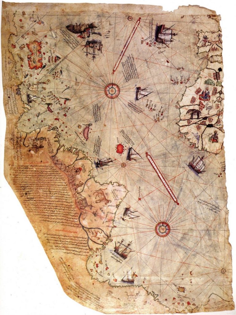
    I wonder what they thought of the land of the big Ice. Prior to this discovery the Euros were credited with discovering the Antarctic 200 years ago.


    Polynesians Discovered Antarctica Over 1,300 Years Ago, New Research Suggests

    A review of literary and oral history suggests Polynesians, and not Europeans, were the first to explore Antarctic waters and possibly even spot the frozen continent itself.

    European explorers are typically credited for discovering Antarctica 200 years ago, but new research published in the Journal of the Royal Society of New Zealand reminds us of a neglected account in which Polynesians are described as sailing through Antarctic waters in the 7th century CE.


    This may be news to many people, but it’s “a known narrative,” as Priscilla Wehi, the lead researcher on the new study and a conservation biologist at Manaaki Whenua Landcare Research, told the New Zealand Herald. That Polynesians may have visited Antarctic waters so long ago will hardly be a revelation to the Indigenous Māori of New Zealand, as their legends make note of this account.
    Read the rest of the article at the link.
    ΜOΛΩΝ ΛΑΒΕ


  2. The Following User Says Thank You to Peter1469 For This Useful Post:

    MMC (06-12-2021)

  3. #2
    Original Ranter
    Points: 388,252, Level: 100
    Level completed: 0%, Points required for next Level: 0
    Overall activity: 0.2%
    Achievements:
    SocialRecommendation Second ClassOverdriveTagger First Class50000 Experience PointsVeteran
    MMC's Avatar Senior Member
    Karma
    70170
    Join Date
    Jun 2011
    Location
    Chicago Illinois
    Posts
    89,892
    Points
    388,252
    Level
    100
    Thanks Given
    54,131
    Thanked 39,167x in 27,728 Posts
    Mentioned
    243 Post(s)
    Tagged
    0 Thread(s)
    What about the Chinese and their Map? Or the Piri Reis Map?


    The Piri Reis Map: Does This Ancient Map Show Antarctica Free of Ice?

    This map is said to depict Antarctica void of its kilometer-thick ice sheets.


    The ancient map shows Europe’s western coasts and North Africa, and Brazil’s coast with reasonable accuracy. Various Atlantic islands, including the Azores and the Canary Islands, are depicted, as is the mythical island of Antillia and possibly Japan.


    The map, drawn on gazelle skin parchment, was presented to Ottoman Sultan Selim I in 1517.


    From Inscription 6 on the map:


    In 1950 American expedition Deep Freeze managed to “reveal” the geography of the icy continent.
    What ‘Experts’ Think
    In 1960 Professor Charles Hapgood of Keene College contacted The US Airforce and asked them to review the map and its details.
    This was their supposed response:


    Dear Professor Hapgood,
    Your request for evaluating certain unusual features of the Piri Reis World Map of 1513 by this organization has been reviewed.
    The claim that the lower part of the map portrays the Princess Martha Coast of Queen Maud Land Antarctic and the Palmer Peninsula is reasonable. We find that this is the most logical and, in all probability, the map’s correct interpretation.
    The geographical detail shown in the lower part of the map agrees remarkably with the seismic profile results made across the top of the ice cap by the Swedish-British-Norwegian Antarctic Expedition of 1949.
    This indicates the coastline had been mapped before the ice-cap covered it.
    The ice-cap in this region is now about a mile thick. We have no idea how the data on this map can be reconciled with the supposed state of geographical knowledge in 1513.


    I am sure you will be pleased to know we have concluded that both of these maps were compiled from accurate source maps, irrespective of dates. The following is a brief summary of our findings:


    We are convinced that the findings made by you and your associates are valid. They raise fundamental questions affecting geology and ancient history, questions that certainly require further investigation.


    Mainstream scholars maintain that there is no reason to believe that the map is the product of genuine knowledge of the Antarctic coast, nor the belief it shows Antarctica free of ice......snip~


    The Piri Reis Map: Does This Ancient Map Show Antarctica Free of Ice? (curiosmos.com)

    History does not long Entrust the care of Freedom, to the Weak or Timid!!!!! Dwight D. Eisenhower ~

+ Reply to Thread

Posting Permissions

  • You may not post new threads
  • You may not post replies
  • You may not post attachments
  • You may not edit your posts